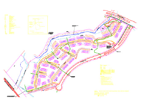
 Aerial views of the site, provided by the client (with PDF markups), indicated the scope of the documentation. We digitized the roadways, sidewalks and buildings and finally added utilities and connections. These drawings were to be provided to their client requesting major utility renovations as well as submittal to the local government offices for permitting.
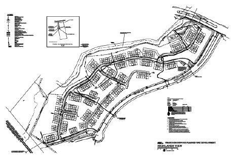